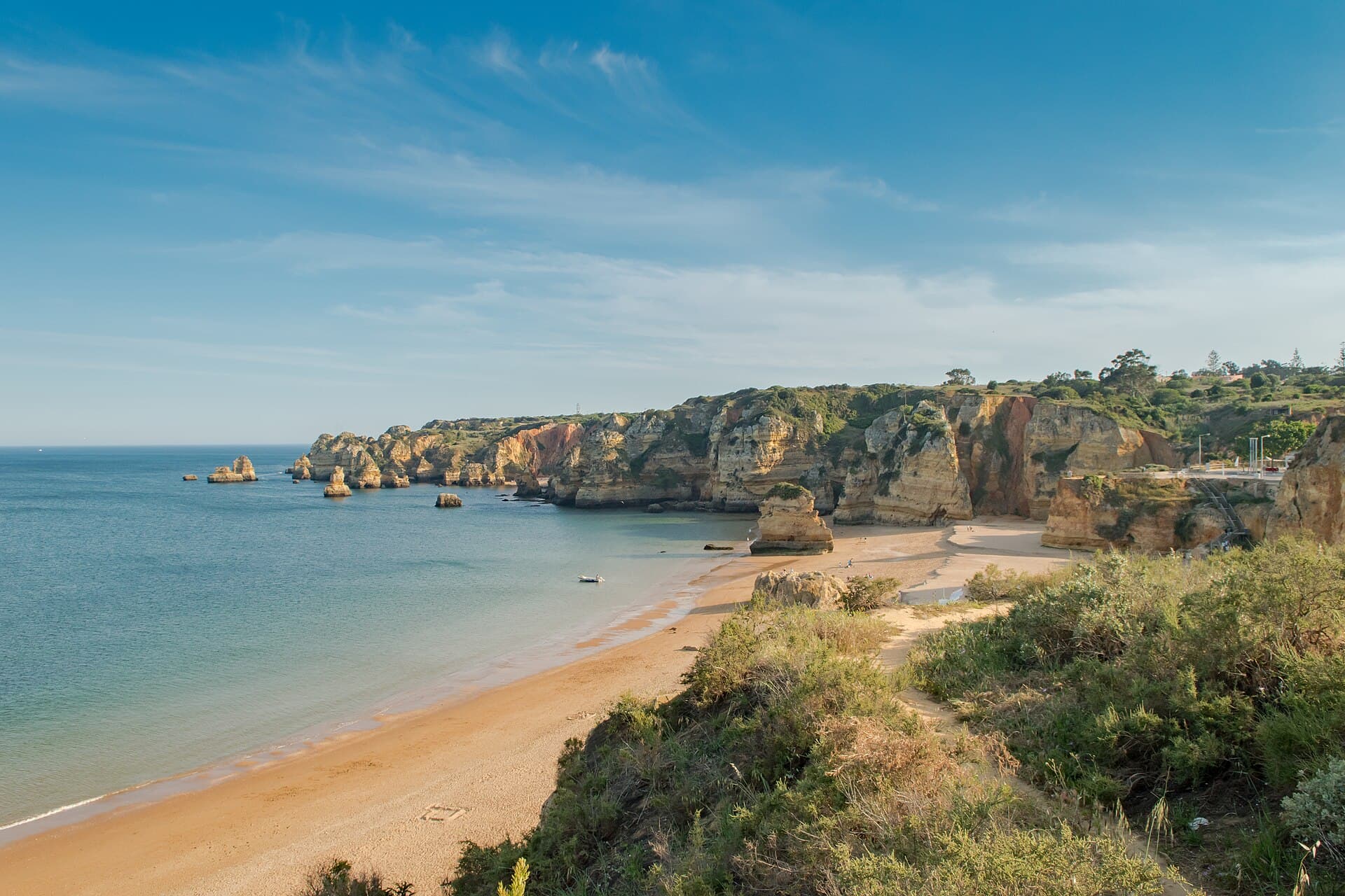
Praia de Dona Ana
ONLY IF YOU'RE ALREADY THERE

Portugal · Lagos

Praia de Dona Ana

Golden cliffs, with a staircase that believes in leg day.

A cliff-backed cove with stair access. Check the conditions and signs before a swim. Photo: dronepicr · CC BY 2.0

The hang

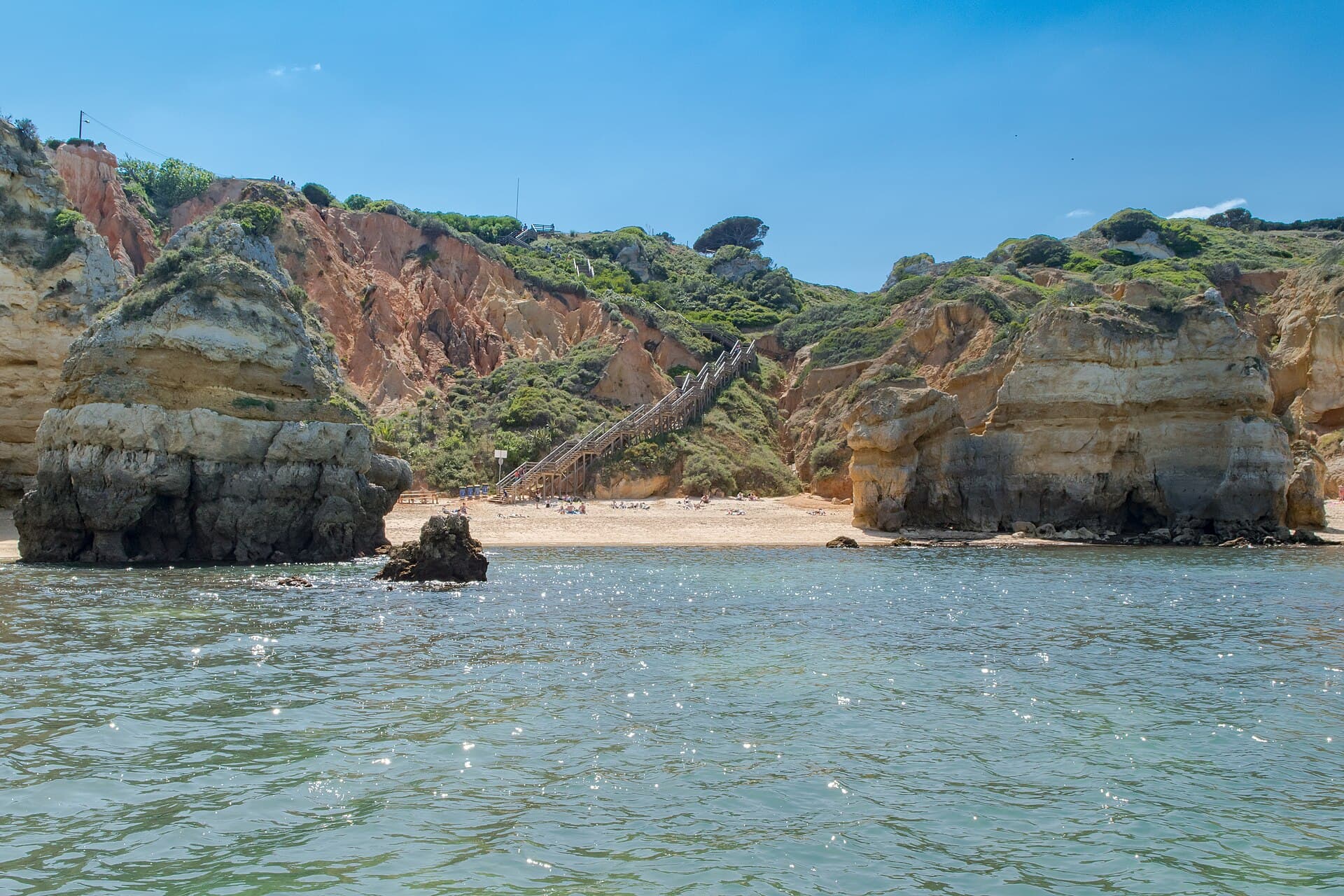
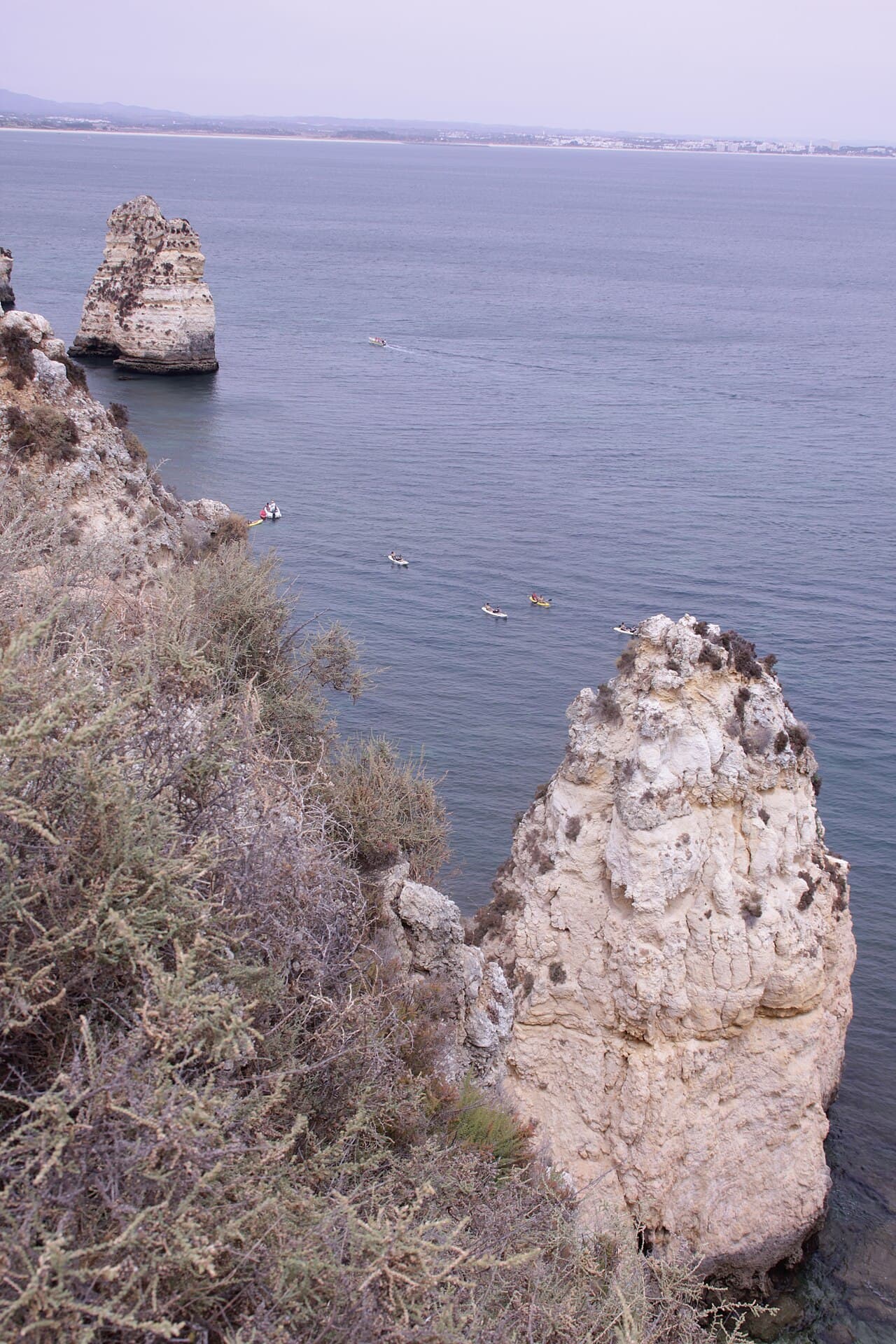
Praia de Dona Ana, or Dona Ana Beach, is a cliff-backed cove in Lagos reached by stairs. The rockwork is the reason to come, and the staircase collects its fee in calves. Our mapped sand polygon measures 191 metres long, so this is the cove option in our Lagos comparison. If step-free access matters, compare Meia Praia and Luz's official accessibility listings before choosing your route.
The real intel

Best months · warmest sea
August (18.8 °C), then July and June. One year of data, 2025.
Best months · emptiest
No reliable quiet-hour window to recommend.
Getting there
A Onda line 2 lists Praia Dona Ana, the Lagos bus terminal and the railway station among its stops. Check the operator's timetable for your date. The descent to the sand is by stairs.
Cost reality
No verified current sunbed or parking tariff to quote. Check the posted price before hiring or parking.
The catch nobody tells you
The stair access. The municipality's regulation describes the descent as a long, winding staircase, so this is not a step-free option.

The year at Praia de Dona Ana

Warmest sea in August. Fewest wet days in June and August. Pick your fight.

J
F
M
A
M
J
J
A
S
O
N
D
Sea (°C)
16.8
15.2
15.6
16.5
16.6
17.5
17.9
18.8
16.4
17.9
17.2
16
Air (°C)
14
13.5
13.9
16.4
18.7
23.1
23.9
24.3
22.2
21
15.7
13.1
Sun (h/day)
7.4
8.8
9.6
11.1
12.9
13.5
13.4
12.6
11.1
9.8
8.1
7.4
Rain (days)
15
9
21
17
7
0
1
0
2
6
12
18

One year of data, 2025, from Open-Meteo at this beach's coordinates. A rain day is 1 mm or more. The red bar is the month to aim for in each row.


The neighbours

6 beaches within 6 km, as the gull flies. We have rated 1.

  1. 249 mPraia do Pinhão71 m of beach, measured. Not rated yet.
  2. 439 mPraia da Caldeira47 m of beach, measured. Not rated yet.
  3. 484 mPraia dos Estudantes65 m of beach, measured. Not rated yet.
  4. 555 mPraia do CamiloTwo hundred steps, and the entrance is off limits.ONLY IF YOU'RE ALREADY THERE
  5. 599 mPraia da Batata158 m of beach, measured. Not rated yet.
  6. 1.3 kmPraia do Canavial312 m of beach, measured. Not rated yet.

Straight-line distances from the mapped beach shapes (OpenStreetMap). Roads are longer, and in Bali they are much longer.


The crowd

A compact cove, with no promise of an empty corner. Check the scene and posted notices when you arrive.


The receipts

Access and bus information checked 17 October 2026 against the municipal regulation and A Onda. APA lists the 2026 bathing season as 1 June to 30 September. Confirm current supervision, flags and sea conditions locally. The 2025 sea-temperature data and mapped measurements retain their original sources.


The facts · we measured

Length
191 m
Mean width
35.4 m
Area
6,764 m²
Warmest sea (2025)
18.8 °C in Aug
Coldest sea (2025)
15.2 °C in Feb
Sea by month, °C
Jan 16.8 · Feb 15.2 · Mar 15.6 · Apr 16.5 · May 16.6 · Jun 17.5 · Jul 17.9 · Aug 18.8 · Sep 16.4 · Oct 17.9 · Nov 17.2 · Dec 16.0

Questions people ask

How do you get to Dona Ana Beach in Lagos?

A Onda line 2 lists Praia Dona Ana and the Lagos bus terminal among its stops. Use its current timetable for your travel date. Land access to the sand is by stairs.

Is Praia de Dona Ana step-free?

No. The municipal access regulation describes the beach as reached by a long, winding staircase. Meia Praia and Luz have official accessibility listings, but confirm the route and any assistance you need before travelling.

Can you swim at Dona Ana Beach?

Use the current local notice, flags and sea conditions to decide. APA lists a 1 June to 30 September bathing season for 2026. Current lifeguard operation and the individual beach's live alert status were not confirmed in this review.

How big is Praia de Dona Ana?

Our named OpenStreetMap sand polygon measures 191 metres long, with the method and source linked below. It is a mapped extent, not a fresh survey of every part of the shoreline.