Myrtos Beach
OVERRATED

Greece · Kefalonia · #1 of Greece's ten by fame

Myrtos Beach

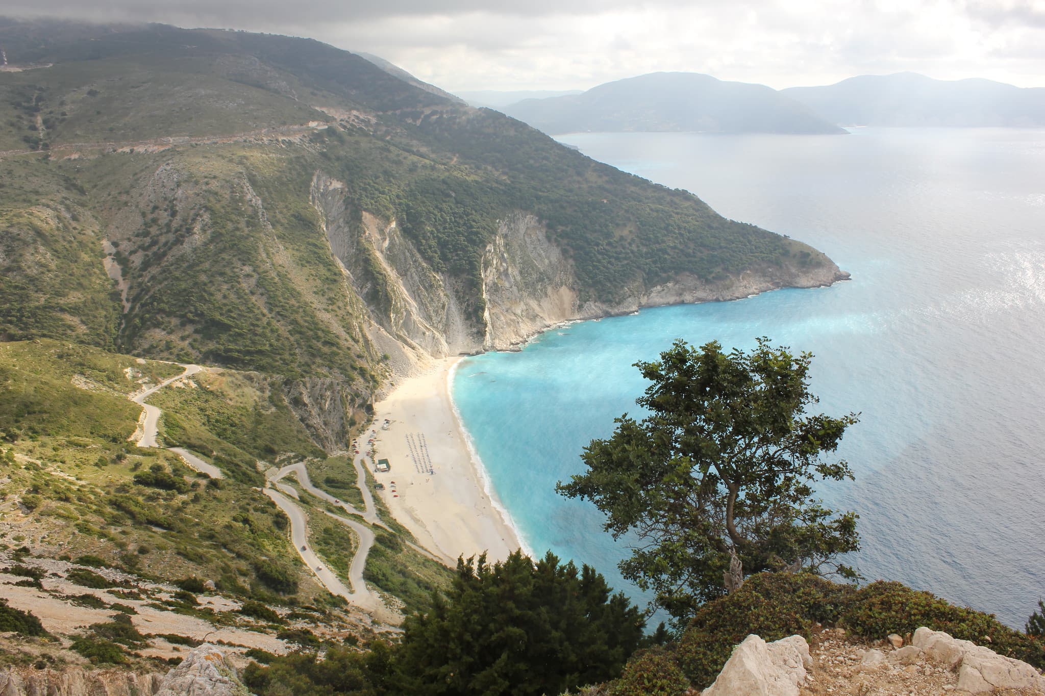
White pebbles, two mountains, one hairpin road.

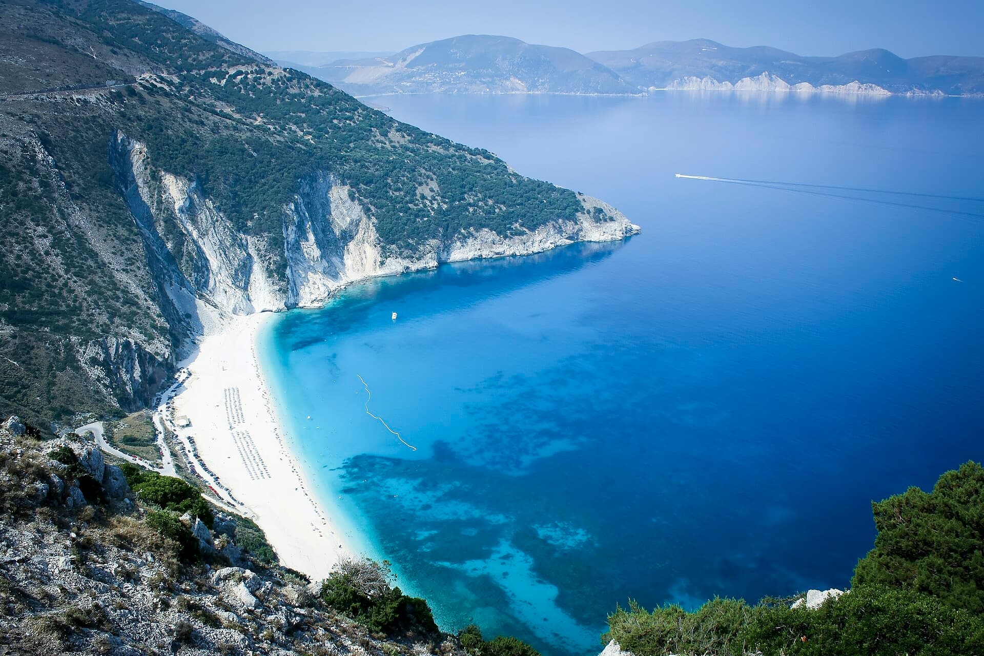
How we rated it: first on the fame list, but a down cancels the lift and takes one more: landslides hit the slope above the beach on 9 July 2026 with bathers below, and civil protection ordered emergency measures. Nobody was hurt. Photo: Antti Simonen · CC BY 2.0

The hang

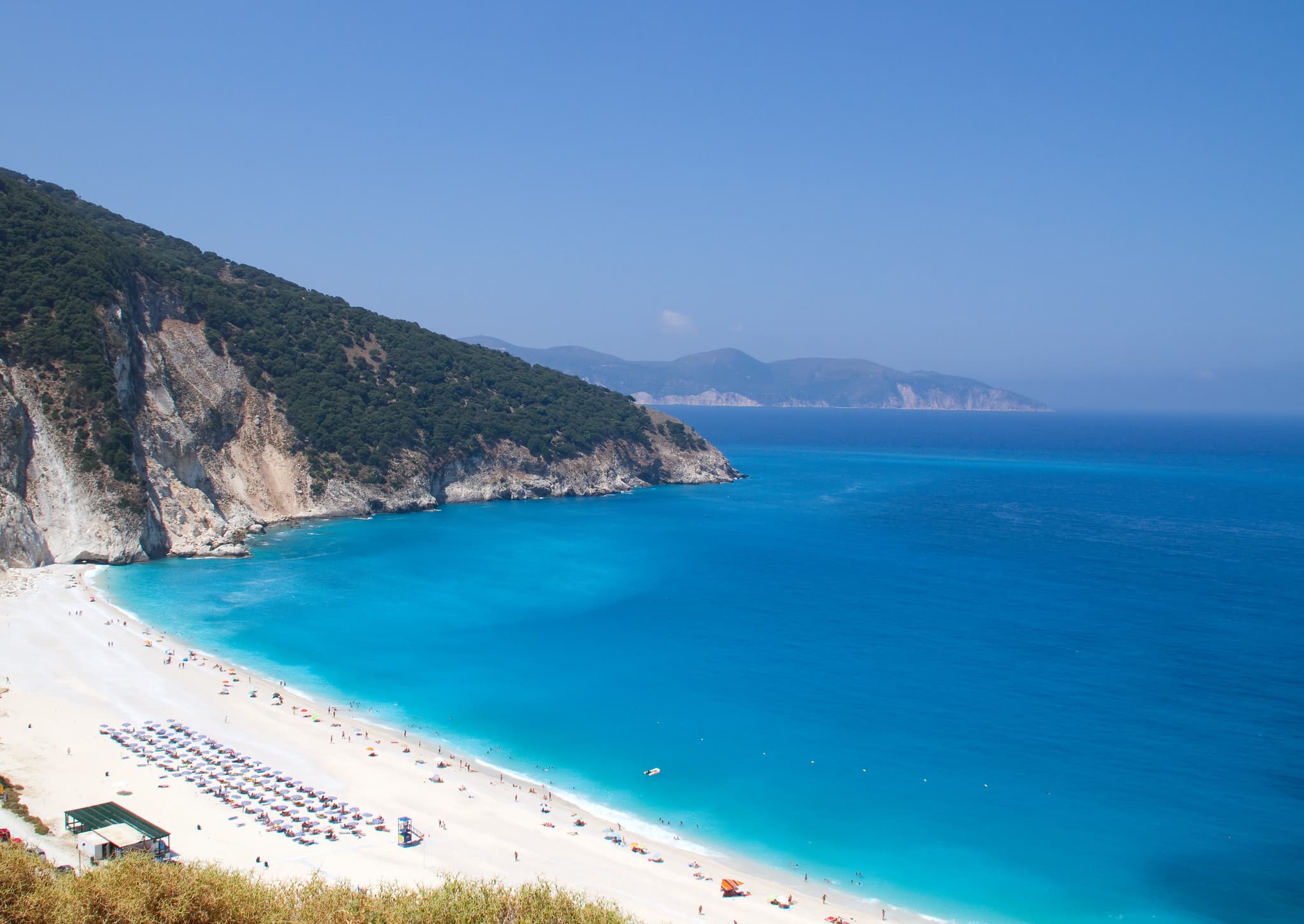
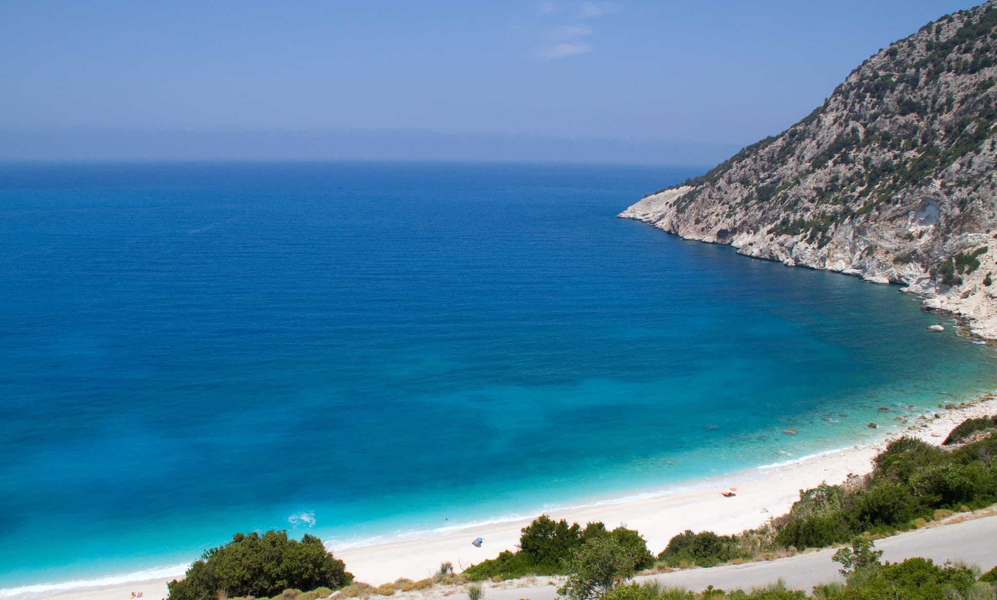
Myrtos is first on Greece's fame list. The white sand in the photographs is smooth white pebbles, set between two mountains, one of them 901 metres high. You reach it down a steep, winding road with hairpin turns, to a large car park next to the beach. There is no natural shade, and sunbeds and umbrellas are only sometimes there to rent. The seabed drops off fast, so you can be out of your depth a few steps in, and the wind can build waves and currents quickly even when the rest of Kefalonia is calm. In July and August, arrive before 10am. We measured 748 metres of beach.
The real intel

Best months · warmest sea
July (26.1 °C), then August and September. Coldest: February (16.8 °C). One year of data, 2025.
Best months · emptiest
No crowd data by month. In July and August the advice is to arrive before 10:00.
Getting there
By car down a steep, winding road with hairpin turns to a large car park by the sand, by public bus, or by private boat.
The catch nobody tells you
Landslides on the cliff above in July 2026 (no injuries; warning signs are up and civil protection ordered emergency measures). The seabed also drops off fast, and wind can build waves and currents quickly.

The year at Myrtos Beach

Warmest sea in July and August. Fewest wet days in June and July. Pick your fight.

J
F
M
A
M
J
J
A
S
O
N
D
Sea (°C)
17.5
16.8
16.9
17.4
19.7
24.2
26.1
26.1
25.6
22.3
21
18.7
Air (°C)
13.5
11.7
15.1
16.6
20.6
26.8
28.5
28.1
25.2
19.2
17.6
13.9
Sun (h/day)
7.2
8.3
9.2
11.9
12.2
13.9
13.9
13
11.1
9
7.8
6.8
Rain (days)
14
8
12
11
7
0
0
2
6
17
18
12

One year of data, 2025, from Open-Meteo at this beach's coordinates. A rain day is 1 mm or more. The red bar is the month to aim for in each row.


The neighbours

1 beach within 6 km, as the gull flies.

  1. 5.5 kmAgia Kiriaki Beach507 m of beach, measured. Not rated yet.

Straight-line distances from the mapped beach shapes (OpenStreetMap). Roads are longer, and in Bali they are much longer.


The crowd

In July and August, arrive before 10:00 to keep the day relaxed and find parking.


The receipts

Sunbeds and umbrellas are sometimes available in season. There is no natural shade.


Myrtos Beach in pictures

Myrtos Beach
Photo: ahisgett, CC BY 2.0
Myrtos Beach
Photo: EEPaul, CC BY 2.0
Myrtos Beach
Photo: ahisgett, CC BY 2.0

The facts · we measured

Length
748 m
Mean width
55.7 m
Area
41,654 m²
Warmest sea (2025)
26.1 °C in Jul
Coldest sea (2025)
16.8 °C in Feb
Sea by month, °C
Jan 17.5 · Feb 16.8 · Mar 16.9 · Apr 17.4 · May 19.7 · Jun 24.2 · Jul 26.1 · Aug 26.1 · Sep 25.6 · Oct 22.3 · Nov 21.0 · Dec 18.7

Questions people ask

Is Myrtos Beach sand or pebbles?

Pebbles. The white sand in photographs is smooth white pebbles.

How do you get to Myrtos Beach?

By car down a steep, winding road with hairpin turns to a large car park next to the beach, by public bus, or by private boat.

Is Myrtos Beach safe for swimming?

Take care. The seabed drops off fast, so footing can be lost a few steps in, and winds can build waves and currents quickly.