WORTH A DETOUR

Peru · Piura · #1 of Peru's ten by fame

Playa Vichayito

No rocks, gentler waves, and the way in is a green sign at kilometre 1155.

No photo yet. We don’t lie with pictures.

How we rated it: up one for first place on the fame list. Petty theft is in the catch.

The hang

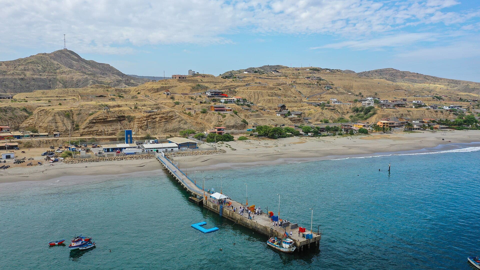
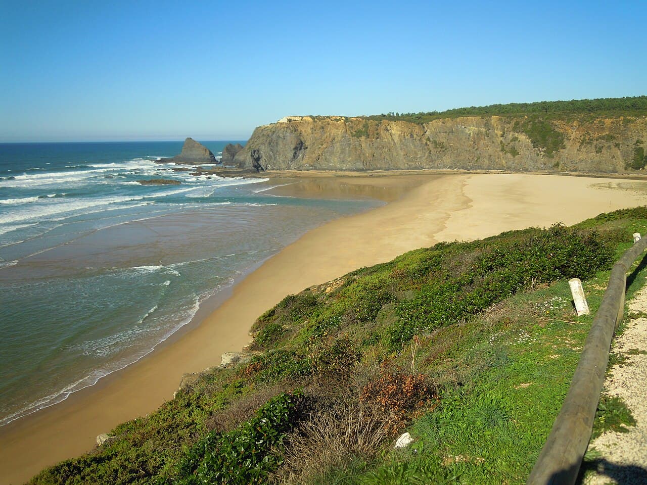
Vichayito is 1,583 metres of sand about 8 km from Máncora, 60 metres wide on average by our measurement. The way in is a little sign with green letters at kilometre 1155 of the old North Pan-American Highway, among the hostel signs. One guide says there are no rocks and the waves are gentler, which makes it good for swimming. Along the road are hostels, bungalows, budget hospedajes and cevicherías.
The real intel

Best months · warmest sea
March (27.7 °C), then February and April. Coolest: August (20.3 °C). One year of data, 2025.
Best months · emptiest
May or September, says one guide. June to August is the peak, mostly locals escaping Lima's winter.
Getting there
By moto-taxi from Máncora, about 8 km, or from Los Órganos. The entrance is off the old North Pan-American Highway at km 1155.
Cost reality
Moto-taxi to Máncora or Los Órganos S/.15. A beer at a hotel S/.5. A good ceviche at a hotel restaurant S/.30.
The catch nobody tells you
It can get crowded in peak season, and petty theft is not unheard of.

The year at Playa Vichayito

Warmest sea in March. Fewest wet days in May, June, July, August and September. Pick your fight.

J
F
M
A
M
J
J
A
S
O
N
D
Sea (°C)
23.1
27.3
27.7
23.8
21.8
21.1
21
20.3
20.8
21.2
20.9
21.1
Air (°C)
27.2
27.6
28.1
28
26.7
25.5
24.4
24
23.8
24.4
25
24.8
Sun (h/day)
10.5
10.2
9.8
10.6
11
10.6
10.9
10.3
11.4
11.5
11.3
11.6
Rain (days)
4
9
3
5
0
0
0
0
0
2
3
2

One year of data, 2025, from Open-Meteo at this beach's coordinates. A rain day is 1 mm or more. The red bar is the month to aim for in each row.


The neighbours

3 beaches within 6 km, as the gull flies. We have rated 2.

  1. 4.1 kmPlaya PocitasLong, thin, rocky, and quiet because it is hard to reach.OVERRATED
  2. 4.7 kmPlaya Los OrganosSurf lesson, snorkel, hand-pole fishing or a whale. Pick one.ONLY IF YOU'RE ALREADY THERE
  3. 5.7 kmPlaya Punta Veleros842 m of beach, measured. Not rated yet.

Straight-line distances from the mapped beach shapes (OpenStreetMap). Roads are longer, and in Bali they are much longer.


The crowd

June to August, mostly locals escaping Lima's winter.


The receipts

Getting there by moto-taxi and on foot with a pack felt, to one guide, like a scavenger hunt.


The facts · we measured

Length
1,583 m
Mean width
60.2 m
Area
95,261 m²
Warmest sea (2025)
27.7 °C in Mar
Coldest sea (2025)
20.3 °C in Aug
Sea by month, °C
Jan 23.1 · Feb 27.3 · Mar 27.7 · Apr 23.8 · May 21.8 · Jun 21.1 · Jul 21.0 · Aug 20.3 · Sep 20.8 · Oct 21.2 · Nov 20.9 · Dec 21.1

Questions people ask

How do you get to Vichayito Beach?

By moto-taxi from Máncora, about 8 km, or from Los Órganos. The entrance is a small green Vichayito sign at km 1155 of the old North Pan-American Highway.

Is Vichayito good for swimming?

One guide says yes: there are no rocks and the waves are gentler than at its neighbours.